Similar prompts
Explore related ideas selected from the Pixloop prompt library.

Use the uploaded image as a topographic map for route planning. The red line is the precise camera trajectory that the flight must strictly follow and must be completely removed from the final video.
@mazeguru_ai
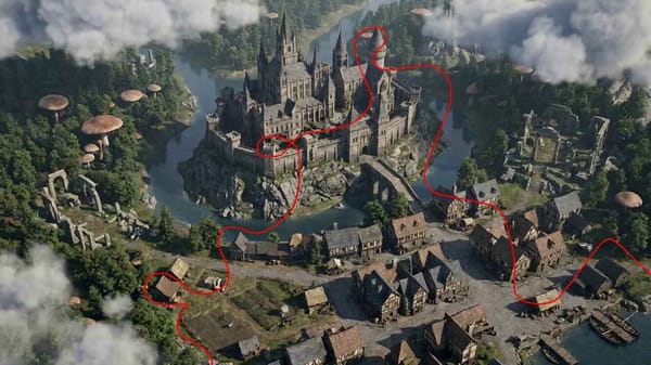
Use the uploaded image as a route-planning terrain map. The red line is only a sketched camera path and must be completely removed from the final video. Create a 15-second single continuous 16:9 cinem
@Deeman_R

Remove the red line, arrows, and all guide marks from the final video. The red path is used only for camera motion guidance. Create a first-person FPV drone shot with cinematic, ultra-fast, one-take m
@hedo_ist
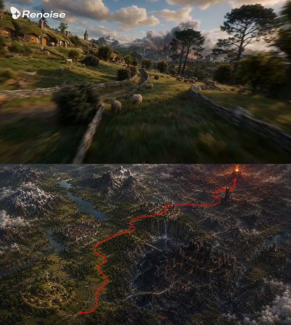
Use the uploaded image as a route-planning terrain map. The red line indicates the intended camera flight path and direction only. The red line, arrow, and all annotations must be completely removed f
@Mayz1169
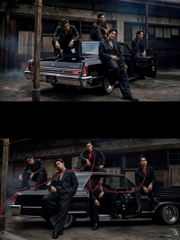
FPV first-person view shot, with the camera following the movement logic of the red guide line, and ensure the final footage does not show the red line. No jump cuts.
@Stevanberg
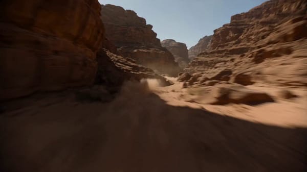
Pure first-person camera perspective, no visible drone, no cockpit, no aircraft visible. The camera flies at supersonic speed through an enormous desert canyon, hugging the terrain only inches above t
@LudovicCreator